
|
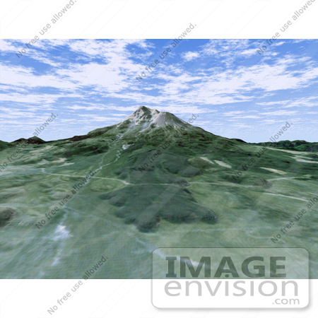
The volcanic nature of Mount Shasta is clearly evident in this computer-generated perspective viewed from the northwest. At over 4,300 meters (14,000 feet), Mount Shasta is California's tallest volcano and part of the Cascade chain of volcanoes extending south from Washington. The twin summits of Shasta and Shastina tower over a lava flow on the flank of the volcano. Cutting across the lava flow is the bright line of a railroad. The bright area at the right edge is the town of Weed. This 3-D perspective view was generated using topographic data from the Shuttle Radar Topography Mission (SRTM) and an enhanced false-color Landsat 5 satellite image. Colors are from Landsat bands 3, 2, and 1 as red, green and blue, respectively. Topographic expression is exaggerated two times. Photo Credit: NASA/JPL/NIMA [0003-0701-0214-0657] by 0003
|
Keywords
3d, ca, calif, california, cascade mountains, cascade range, earth science, geography, jpl, mount shasta, mount shasta ca, mount shasta california, mountain, mt shasta, nasa, shasta, volcano, volcanoes
|
|


