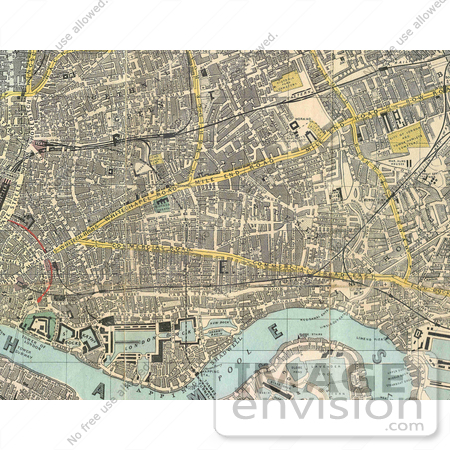
Photo of an 1882 Reynolds Map of East London Source Birkbeck History Dept #1237


#1237 Photo of an 1882 Reynolds Map of East London Source Birkbeck History Dept by JVPD
Stock photo of an 1882 Reynolds Map of East London Source Birkbeck History Dept. [0003-0611-3021-2309] by 0003

Similar Images:

#18777 Photo of a Celestial Star Map by Frederik de Wit by JVPD
#13190 Picture of a Map of Georgia of the United States of America by JVPD
#2116 Dividing the National Map by JVPD
#27455 Illustration of a Little Boy, Probably Diego Colon, And A Dog Standing By A Table Where Christopher Columbus And Three Other Men Listen As Columbus Proposes His Theory Of A New World With Maps by JVPD
#13185 Picture of a Map of Tennessee of the United States of America by JVPD
#8716 Picture of Jacksonville, OR by JVPD
#8700 Picture of Portland, Oregon by JVPD
#13174 Picture of a Map of Louisiana of the United States of America by JVPD
#13162 Picture of a Map of Indiana of the United States of America by JVPD
#12302 Picture of the Oregon Trail by JVPD
#2100 Dividing the National Map by JVPD
#19878 Picture of the Waldseemuller Map, Universalis Cosmographia, by Martin Waldseemuller, 1507 by JVPD
#1619 The Awakening by Henry Mayer by JVPD
#2098 The True Issue by JVPD
More Map Illustrations

Keywords

birkbeck history dept, cities, city, directions, east london, historic map, historic maps, historical map, historical maps, london, map, map of east london, maps