|
Free Pictures of Maps 1-22
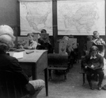
 Students in a Class, Reading
|
|
|
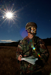
 Soldier Using a Map and Compass
|
|
|
 Soldier Checking Map Coordinates
|
|
|
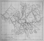
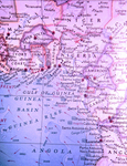 1967 Map that Shows Several Relief Camps Surrounding The Nigerian-Biafran War Zone
|
|
|
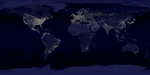
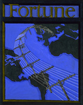 Telephone Lines and Globe on Cover of Fortune Magazine
|
|
|
 Map Showing an Area to be Sprayed with Malathion During the 1976 Pakistani Anti-Mosquito Campaign
|
|
|
 Map Showing Areas Sprayed During the 1976 Pakistani Malathion Campaign
|
|
|
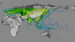
 World in Mercator Projection
|
|
|
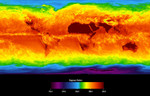 Global Average Brightness Temperature for April 2003
|
|
|
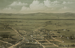
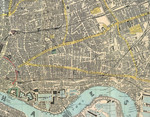 1882 Reynolds Map of East London
|
|
|
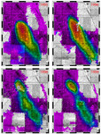
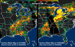 Distribution Patterns, Hurricanes Katrina and Rita
|
|
|
|
|