
|
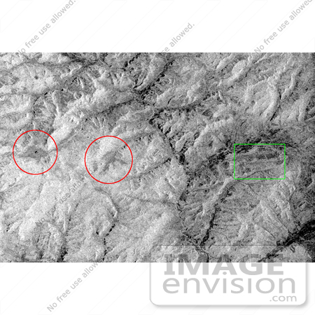
X-band black-and-white image of the forests east of the Baikal Forest in the Jablonowy Mountains of Russia. The image is centered at 52.5 degrees north latitude and 116 degrees east longitude near the mining town of Bukatschatscha. This image was acquired by the Spaceborne Imaging Radar-C/X-band Synthetic Aperture Radar aboard the space shuttle Endeavour on October 4, 1994, during the second flight of the spaceborne radar. Photo Credit: NASA/JPL [0003-0701-1019-2006] by 0003
|
Keywords
baikal lake, baikal lake russia, geography, jablonowy mountains, jpl, nasa, russia
|
|


