
|
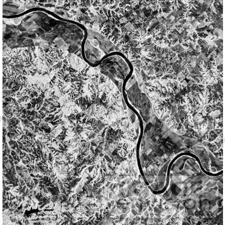
Image of Glasgow, Missouri, centered at about 39.2 degrees north latitude and 92.8 degrees west longitude. The image was acquired using the L-band radar channel (horizontally transmitted and received and horizontally transmitted/vertically received) polarizations combined. The data were acquired by the Spaceborne Imaging Radar-C and X-band Synthetic Aperture Radar(SIR-C/X-SAR) aboard the space shuttle Endeavour on orbit 50 on October 3,1994. The area shown is approximately 37 kilometers by 25 kilometers (23 miles by 16 miles). Photo Credit: NASA/JPL-Caltech [0003-0701-0819-5642] by 0003
|
Keywords
geography, glascow, glascow missouri, jpl, missouri, nasa
|
|

