
|
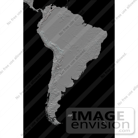
This anaglyph (stereoscopic view) of South America was generated with data from the Shuttle Radar Topography Mission (SRTM). It is best viewed at or near full resolution with anaglyph glasses. For this broad view the resolution of the data was first reduced to 30 arcseconds (about 928 meters north-south but variable east-west), matching the best previously existing global digital topographic data set called GTOPO30. The data were then resampled to a Mercator projection with approximately square pixels (about one kilometer, or 0.6 miles, on each side). Even at this decreased resolution the variety of landforms comprising the South American continent is readily apparent. Topographic relief in South America is dominated by the Andes Mountains, which extend all along the Pacific Coast. These mountains are created primarily by the convergence of the Nazca and South American tectonic plates. The Nazca Plate, which underlies the eastern Pacific Ocean, slides under western South America resulting in crustal thickening, uplift, and volcanism. Another zone of plate convergence occurs along the northwestern coast of South America where the Caribbean Plate also slides under the South American Plate and forms the northeastern extension of the Andes Mountains. East of the Andes, much of northern South America drains into the Amazon River, the world's largest river in terms of both watershed area and flow volume. Topographic relief is very low in much of the Amazon Basin but SRTM data provide an excellent detailed look at the basin's three-dimensional drainage pattern, including the geologic structural trough (syncline) that hosts the eastern river channel. North of the Amazon, the Guiana Highlands commonly stand in sharp contrast to the surrounding lowlands, indeed hosting the world's tallest waterfall, Angel Falls (979 meters or 3212 feet). Folded and fractured bedrock structures are distinctive in the topographic pattern. Photo Credit: NASA/JPL/NIMA [0003-0701-0100-1423] by 0003
|
Keywords
amazon basin, amazon river, anaglyph, andes mountains, angel falls, brazilian highlands, caribbean plate, continent, continents, earth science, geography, gran chaco, guiana highlands, islands, jpl, nasa, nazca plate, pampas, patagonia, south america, south american continent, south american plate, straits of magellan, tierra del fuego
|
|


